Back ایستقیت، واشینقتون AZB Eastgate (Washington) Catalan Eastgate CEB Eastgate (Washington) Czech Eastgate (Washington) Spanish ایستگیت، واشینگتن Persian Eastgate (Washington) Dutch Eastgate (Washington) Portuguese Eastgate, Washington Serbo-Croatian Истгејт (Вашингтон) Serbian
Eastgate | |
|---|---|
Neighborhood | |
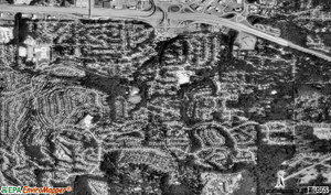
 Aerial view of Eastgate | |
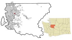
 Location of Eastgate, Washington | |
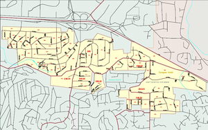
 Map of Eastgate, Washington | |
| Coordinates: 47°34′19″N 122°08′19″W / 47.57194°N 122.13861°W | |
| Country | United States |
| State | Washington |
| County | King |
| City | Bellevue |
| Government | |
| • Type | Annexed in June, 2012 |
| Area | |
| • Total | 1.2 sq mi (3.0 km2) |
| • Land | 1.2 sq mi (3.0 km2) |
| • Water | 0 sq mi (0 km2) |
| Elevation | 400 ft (122 m) |
| Population (2010 Census) | |
| • Total | 4,958 |
| • Density | 3,617/sq mi (1,396.7/km2) |
| Time zone | UTC−8 (Pacific) |
| • Summer (DST) | UTC−7 (Pacific) |
| ZIP code | 98006 |
| Area code | 425 |
| FIPS code | 53-19420[1] |
| GNIS feature ID | 1512174[2] |
Eastgate is a neighborhood of Bellevue, Washington, United States. The population was 4,958 at the 2010 census. It was annexed by Bellevue in 2012.
Based on per capita income, one of the more reliable measures of affluence, Eastgate ranked 38th of 522 areas in the state of Washington.
- ^ "U.S. Census website". United States Census Bureau. Retrieved 2008-01-31.
- ^ "US Board on Geographic Names". United States Geological Survey. 2007-10-25. Retrieved 2008-01-31.